MEA 110: Geolocation Technology in Place-Based Learning
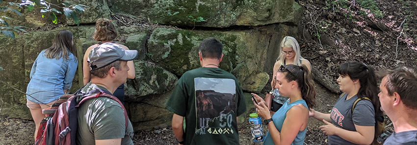
Placed-based learning gets students out of the classroom to explore and interact with the physical environment. As part of an Exploratory Grant, the project team used geo-location and interactive technology along with the development of a rock identification app to bring geological concepts and applications to life for students for the MEA 110 Campus Geology Tour.
Instructional Challenges
- The ability for students to observe natural world and processes on their own time.
- A goal to focus on the experiential learning methodology while using mobile technology as a tool and guide.
Highlights/Solutions
- Redesigned Campus Geology Lab Tour in which students:
- Use maps and GPS to locate tour stops on their personal mobile devices. Lab exercise (tasks) unlocks when students are in proximity.
- Respond to prompts from instructor (delivered via video) and various types of questioning with immediate feedback.
- Take photos of rock formations to annotate and submit as part of answers to prompts.
- Take measurements using different types of phone applications such as: compass, inclinometer, accelerometer or gyroscope.
- An interactive Rock Identification app for students to identify common rock structures found in the field.
Related Links
For more information about DELTA services, please contact LearnTech.